
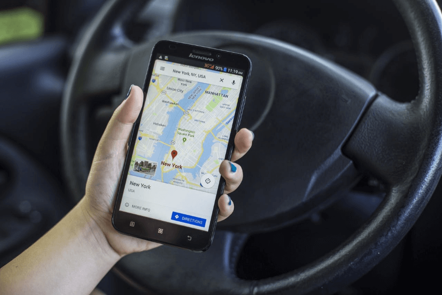
Navigation apps such as TomTom, Waze and Google Maps cause traffic problems, as we read in the FD last weekend, following a message from the IEEE engineering club. The apps send motorists in search of a faster route, via shortcuts through neighborhoods that are not designed for this. Solutions require new forms of urban planning. You can read the IEEE article via this link.
Data top 15
The central government made an administrative agreement in 2018 to contribute to the accelerated digitalization of mobility. The target is to have 90% of the public data structurally in order by 2023 and to be able to offer it as open data. The list of the Data top 15 contains the 15 types of data that are needed to further digitize Dutch infrastructure, these are:
- Planned roadworks
- Current roadworks
- Incidents
- Remaining duration of incidents
- Maximum speeds
- Signs (prohibition and prohibition)
- Control scenarios from traffic control centers
- National highway images
- Bridge openings
- Static parking data
- Dynamic parking data
- Event data
- iVRI data (incl. topology)
- Data for logistics (including environmental zones, loading and unloading areas, clearance heights)
- Cycling data ( including origin/destination, routes and speeds, use of parking facilities
The road managers working for municipalities have the honorable task of collecting and digitizing most of this information. That is a big job because the information is still fragmented or not available in most municipalities.
Data strategy and transformation for municipalities
Matrixian supports governments in digitizing the Data Top 15 with the Matrixian Platform, curious about what we can do?